
take a walk or hike along one of eleven nature trails
The trails are reached from the Park’s three drives. They are designed to offer short hikes or moderate to challenging hikes when travelling in combination. This way requires walking a short distance down a drive to reach a new trail. All are well-cleared, clearly identified and easy to follow — difficulty varies with the trail.
Please protect the Natural Area- stay on trails and Leave No Trace.
If you ever wondered why the Roosevelts chose Campobello, come hike and bike, explore every nook and cove, and try one of the Roosevelts’ favourite activities: a picnic!
Easy:
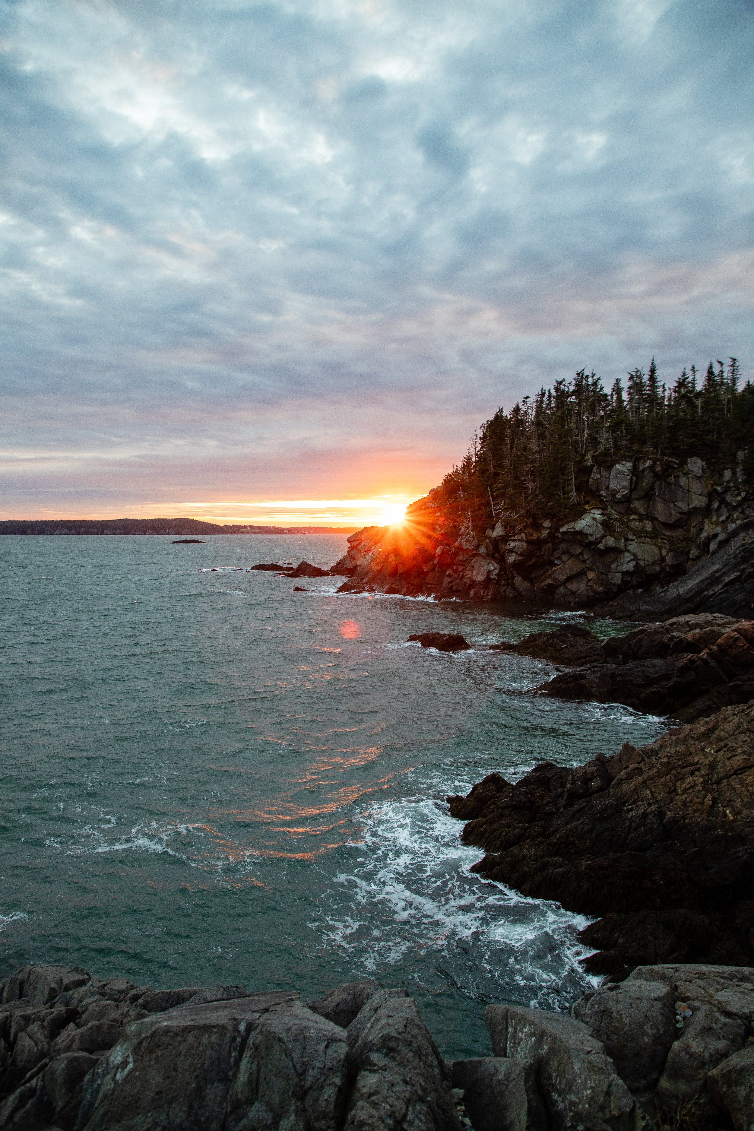
🪶 Duck Island View #5 on the Park Map
Distance: 0.1 km (0.06 mi)
Difficulty: Easy
Highlights: Scenic overlook, Duck Islands, Channel Lighthouse
Description: A short, rewarding walk to a scenic viewpoint overlooking the Duck Islands and the black-and-white Channel Lighthouse.
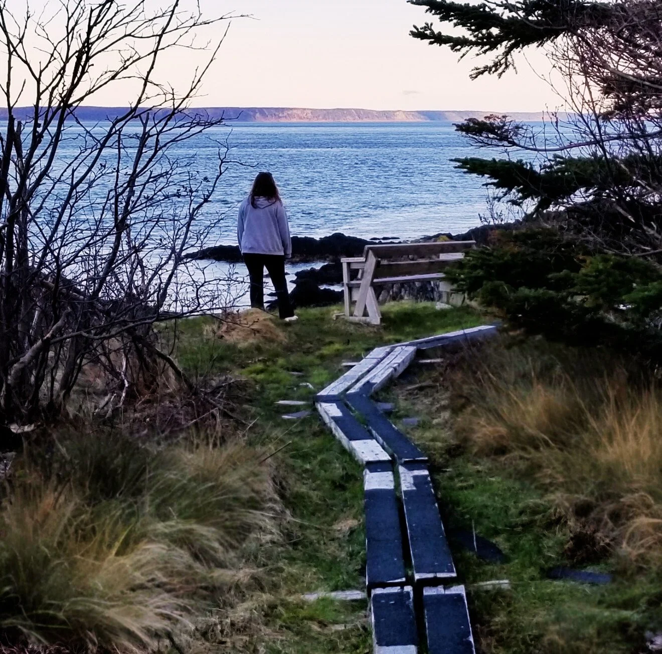
🏖 Raccoon Beach to Lower Duck Pond #9 on the Park Map
Distance: 1.8 km (1.1 mi)
Difficulty: Easy
Highlights: Hardwood forest, shoreline, easy return loop
Description: A flat trail travelling through a beautiful hardwood forest, connecting Raccoon Beach to Lower Duck Pond. Return via a multi-use gravel road for a simple loop.
🚲 Fitz William Trail #11 on the Park Map
Distance: 1.8 km (1.1 mi)
Difficulty: Easy | Wheelchair accessible
Highlights: Level dirt road, cycling-friendly, forest views
Description: A wide, level path perfect for walking or cycling. Access the trail near the entrance to the Natural Area, just by the Nature & Trail Centre (look for yellow barriers).
Moderate:
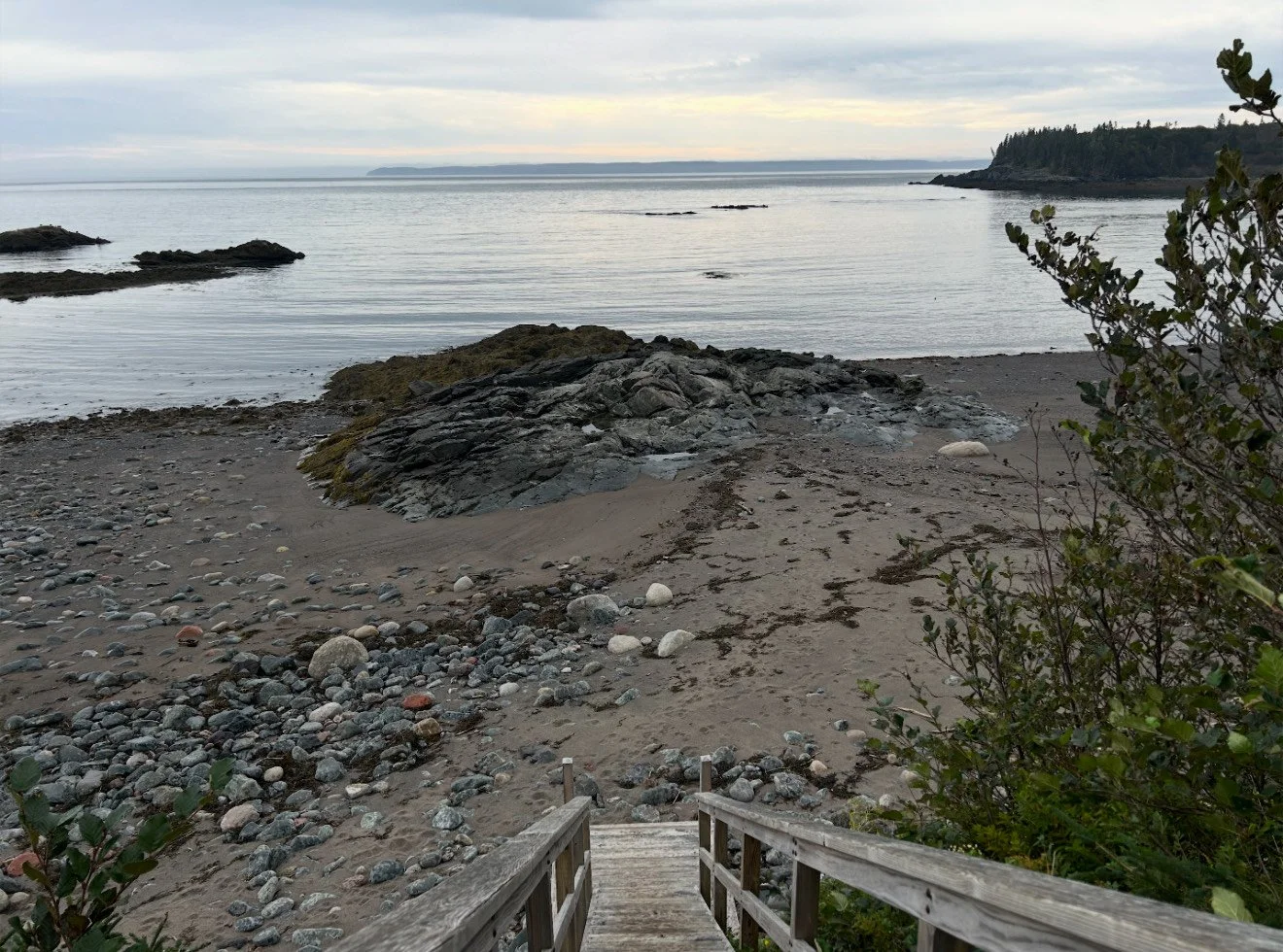
🏞 Visitor Centre to Friar’s Head #1 on Park Map
Distance: 1.8 km (1.1 mi)
Difficulty: Moderate | Wheelchair accessible
Highlights: Forest, coastal headland, beach option
Description: Connects the Visitor Centre to Friar’s Head. At low tide, return along the beach to the pier below Roosevelt Cottage, then hike uphill to the Visitor Centre.
🌲 Nature Centre to Fox Farm #2 on Park Map
Distance: 1.8 km (1.1 mi)
Difficulty: Moderate
Highlights: Regenerating forest, history of logging
Description: This trail winds through forest that has been regenerating since logging 40 years ago, offering a unique look at renewal and habitat change.
🌿 Fox Farm to Upper Duck Pond #3 on Park Map
Distance: 1.5 km (0.9 mi)
Difficulty: Moderate
Highlights: Small estuary, pond views
Description: Follow a gentle estuary and emerge at the Upper Duck Pond parking lot.
🌊 Cranberry Point to Fox Farm #4 on Park Map
Distance: 1.1 km (0.7 mi)
Difficulty: Moderate
Highlights: Ocean views, forest and shore mix
Description: A winding trail that alternates between forest and shoreline, offering scenic views of the ocean along the way.
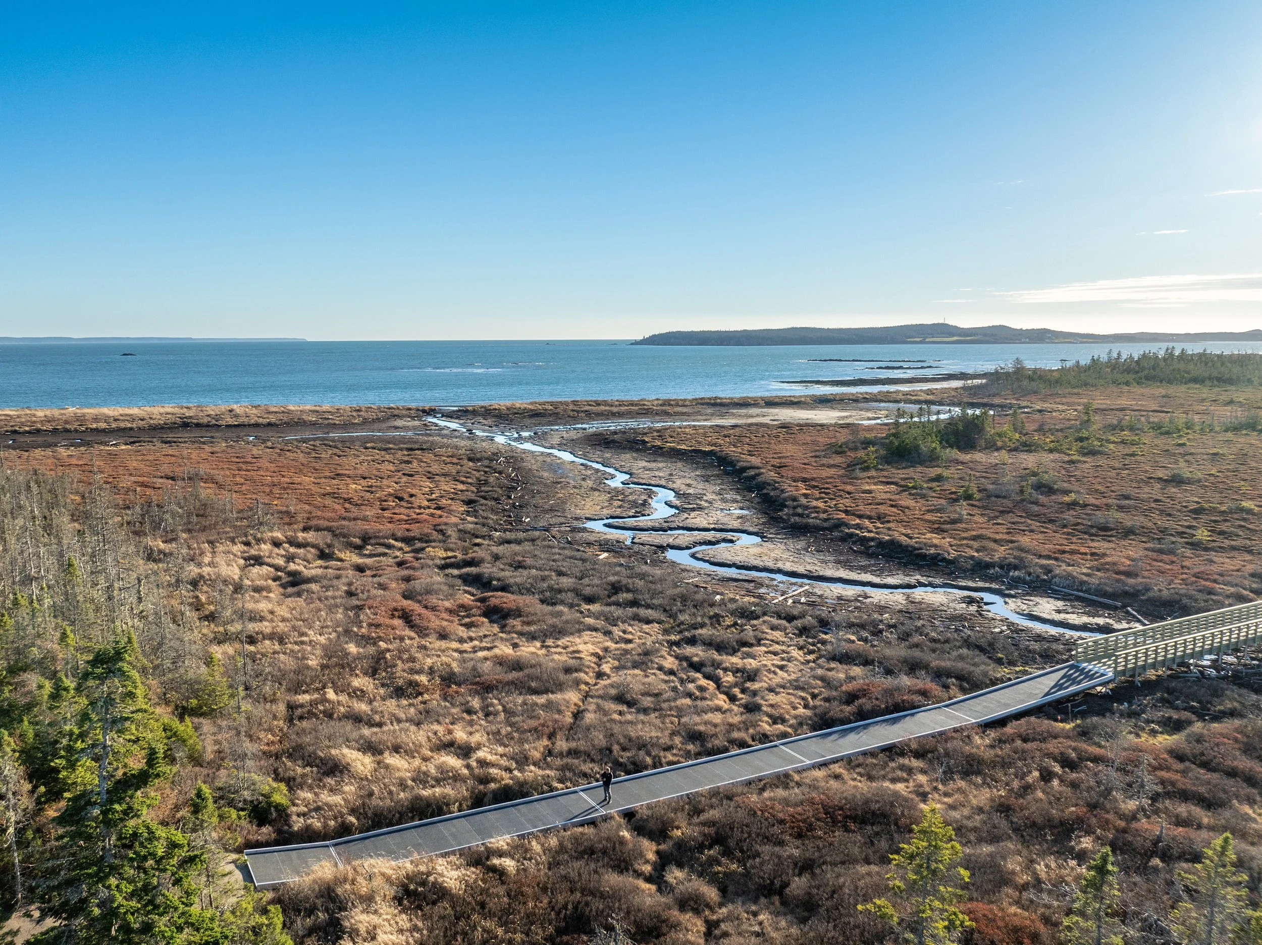
🌉 Witapehkewakoni-Awt / Friendship Trail
Distance: 3.75 km (2.3 mi)
Difficulty: Moderate | Wheelchair accessible
Highlights: Floating boardwalk, wetlands, bicycle & stroller friendly
Description: Experience one of the park’s most exciting projects — a specially engineered bridge and walkway designed to protect sensitive wetlands. Cross Lower Duck Pond Bog and enjoy the diverse forest and open pasture.
Trail Segments: #6 on Park Map
Fox Farm → Fox Hill: 1.3 km (0.8 mi)
Fox Hill → Lower Duck Pond: 3.25 km (2 mi)
Also great for bird watching! Check out our Virtual Experiences page for a fun video by Bob Duchesne!
🌲 Liberty Point to Lower Duck Pond #7 on Park Map
Distance: 1.8 km (1.1 mi)
Difficulty: Moderate
Highlights: Forest, picnic areas, occasional ocean views
Description: An engaging trail with gentle ups and downs through forested terrain, picnic areas, and coastal viewpoints.
🌅 Raccoon Point to Sunsweep Sculpture / Liberty Point #8 on Park Map
Distance: 3.9 km (2.4 mi)
Difficulty: Moderate
Highlights: Coastal route, sculpture, ocean views
Description: One of the park’s most acclaimed trails, connecting two iconic destinations. Expect roots, wet sections, and rugged terrain — but stunning coastal vistas in return.
🌺 Eagle Hill Bog #10 on Park Map
Distance: 0.5 km (0.3 mi)
Difficulty: Moderate | Wheelchair accessible
Highlights: Boardwalk, bog ecosystem, observation deck
Description: A short, accessible wooden pathway through a rare bog ecosystem. Rest benches and interpretive panels guide your walk. An observation deck provides a panoramic view from Eagle Hill.